GPS system
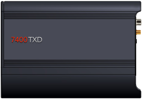 The 7400 TXD GPS is characterized by reliability and durability, which have been known for many years, as well as a great deal of compatibility with other products available on the market. The flagship product has been enhanced with K-Line CAN support without the need for additional equipment, GNSS GLONASS receiver, energy management system, vehicle tracking system, auto vehicle startup detection, or improved motion detection accelerometer as an alternative to motion detected by Satellite location. In addition, the internal memory of the device has doubled from 56,000 to 112,000, doubling the capacity of the device, allowing more data to be stored.
In addition to recording data from the CAN bus, the GPS 7400 TXD can be equipped with a fuel level sensor. Probes are approved by the Ministry of Transport. Level measurement using a probe is made using a simple relationship between the height of the liquid column and the resulting hydrostatic pressure. The probe consists of two parts: a sensor part located in a steel tube and an electronic component located in an aluminum housing that can be sealed. The measuring element is a piezoresistive sensor separated from the medium by a separating membrane. The pressure measurement is made at the diaphragm level of the submerged probe (5 mm above the bottom of the tank). Depending on the type of tank (pressure or pressure), the pressure measurement is related to atmospheric pressure or pressure within the tank.
The 7400 TXD can also be equipped witch The Tacho Reader to remotely downloading driver data and data stored in the tachograph's internal memory. 
All data will be seen online from your computer or from your mobile device in Autosatnet 3
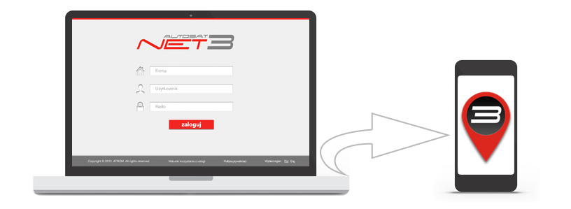 The purpose of Autosatnet 3 is to access your own fleet GPS monitoring from any computer or tablet with Internet access via a web browser. Autosatnet 3 provides monitoring as a service without the additional cost of maintaining your server infrastructure. The system cost per vehicle is low and fixed, so small or startup transport companies, businesses and anyone interested in monitoring can benefit from it. Vehicle data such as position, speed, fuel level, driver working time, etc. are transmitted via the GPRS network to Atrom servers. Specialized server software analyzes vehicle position data and generates relevant reports and routes, detects refueling, and saves it in the database. The website Autosatnet 3 based on data collected in the Atrom database presents the reports in the form of tables, and the routes and current location of vehicles on the exact map of Poland and Europe. To use Autosatnet 3 you only need a computer or tablet with a web browser and Internet access. In Autosatnet 3, you can self-assign privileges to all interested parties who want to give personalized access to specific system features. It is now possible to determine what a particular user is supposed to see. We will be able to simplify this by enhancing the quality of our transport services. Carrier customers can now track Autosatnet 3 status of vehicles that carry their goods. Access to the current position of vehicles, routes and reports in Autosatnet 3 is available from anywhere in the world and is available in many subscription variants from as low as 19 PLN per vehicle without a term contract.